
St Andrews State Park: Celebrating Seventy-Five Years
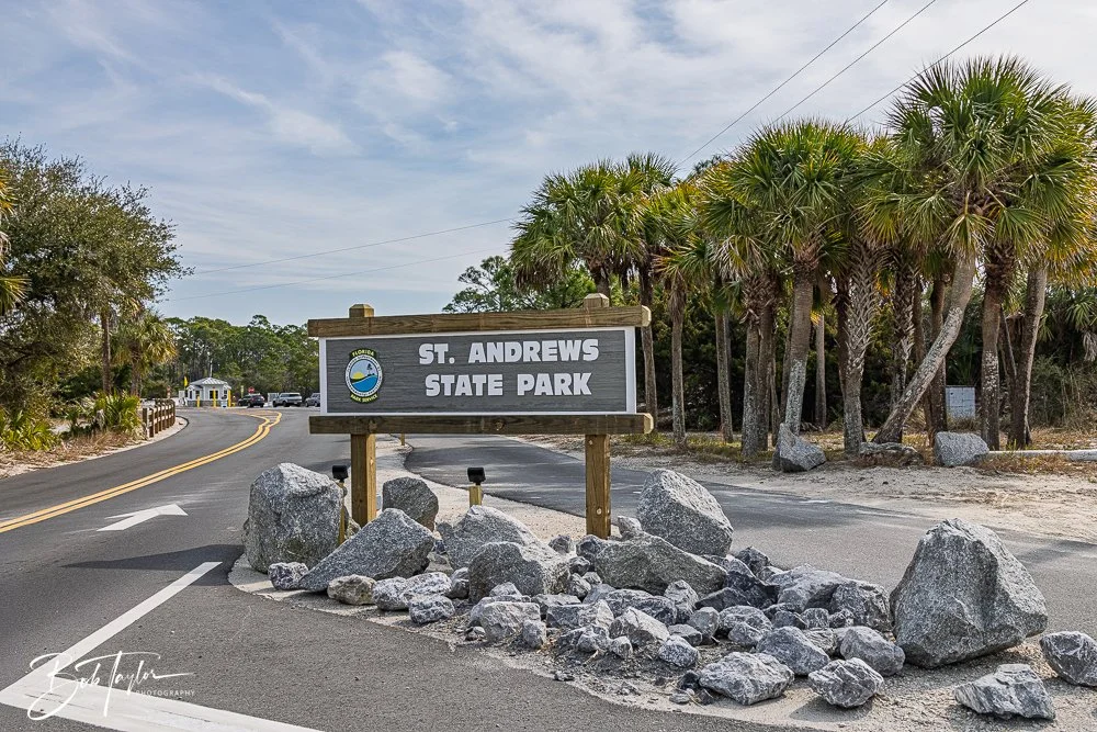
Today: Entrance to St Andrews State Park in Panama City Beach, Florida. Photo taken February 14, 2026
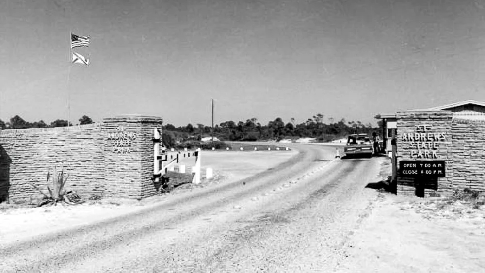
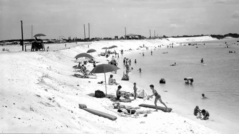
Yesterday: Early entrance gate to St Andrews State Park.
In 1951, the gates finally opened.
For seventy-five years, families have driven across the bridge with coolers in the back seat and sand already in their minds. Grandparents who once fished these jetties as teenagers now watch their grandchildren splash in the same calm water the currents shaped nearly a century ago.
That is no small thing.
Seventy-five years means this park has served multiple generations—not as a luxury, not as an attraction, but as a constant. It has been the affordable vacation, the after-church picnic, the school field trip, the first camping trip, the first fish caught without help, the first glimpse of dolphins cutting through the pass.
And through those decades, the park has continued to evolve.
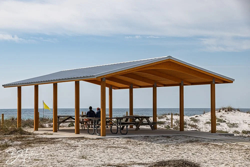
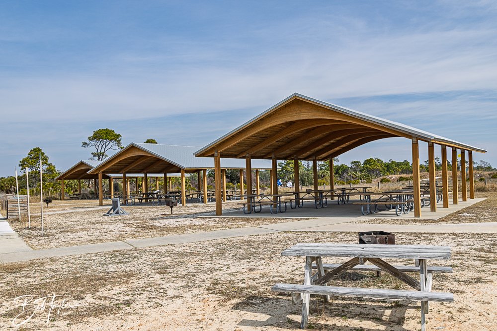
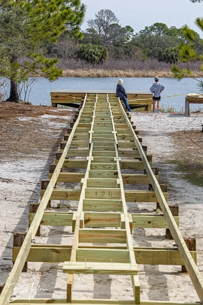
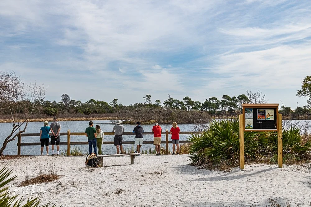
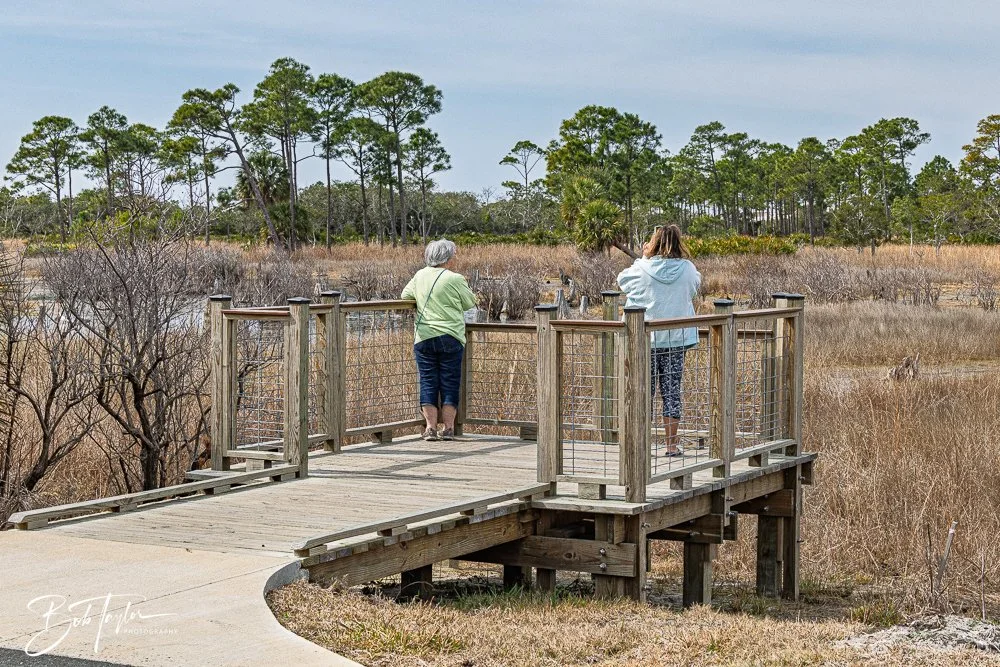
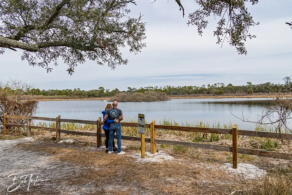
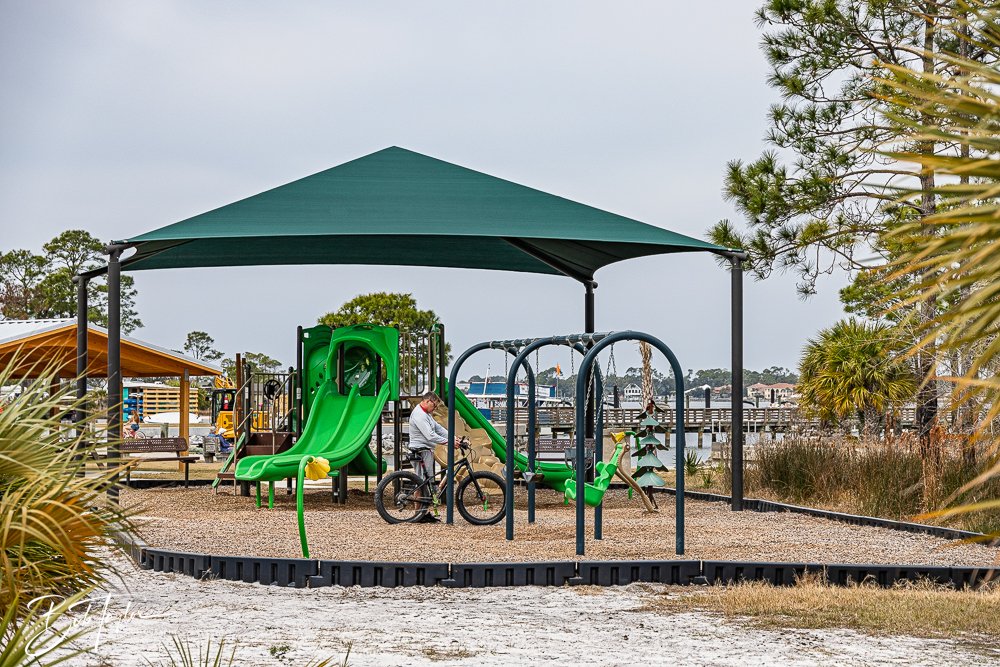
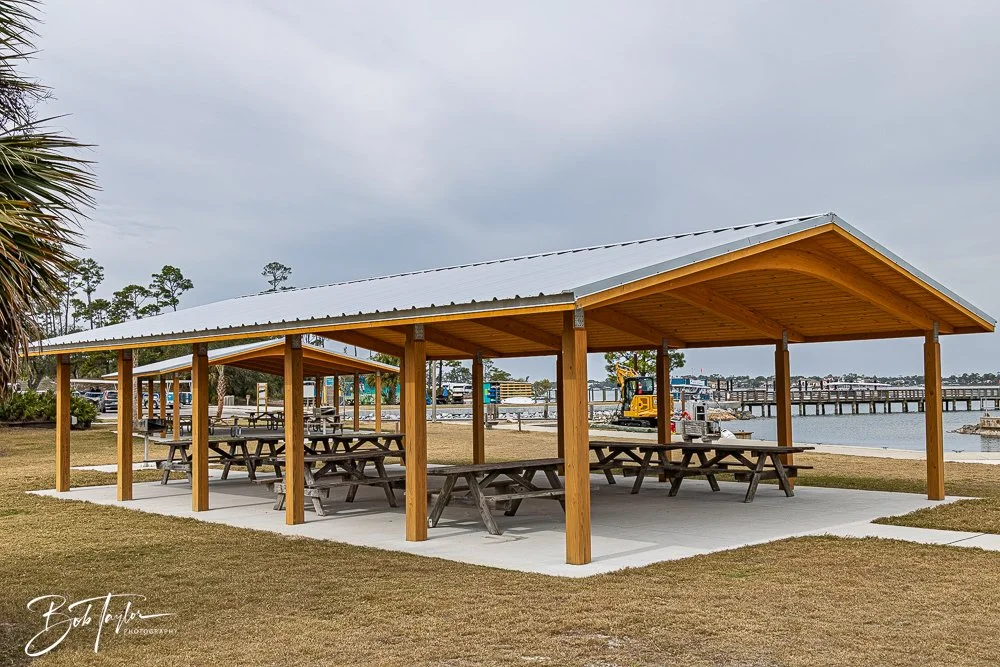
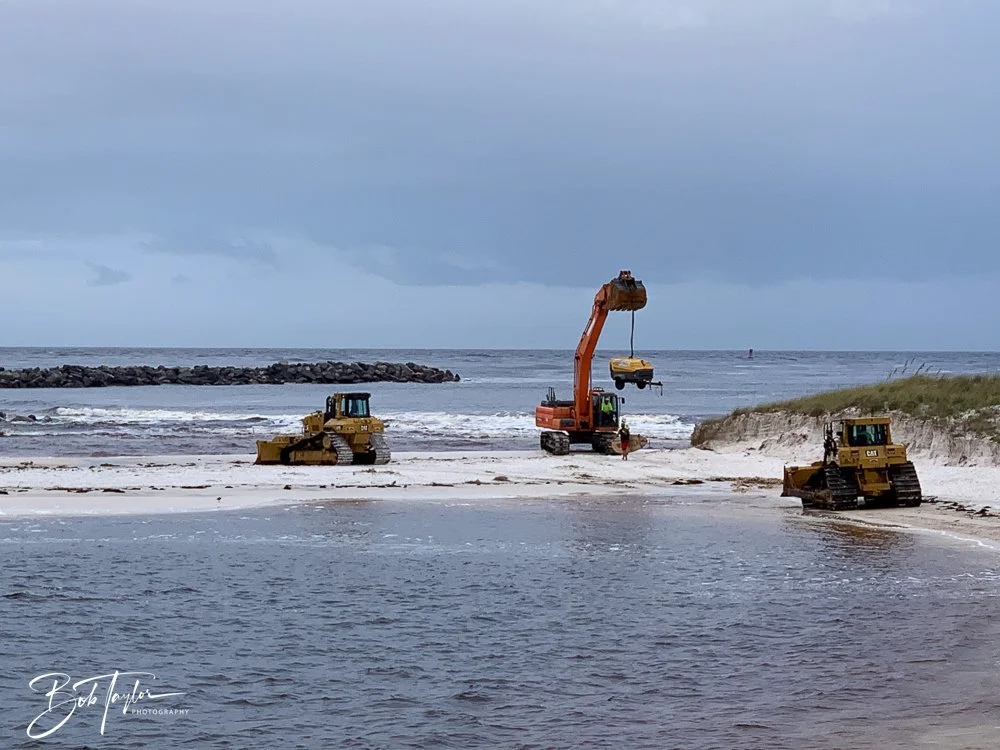
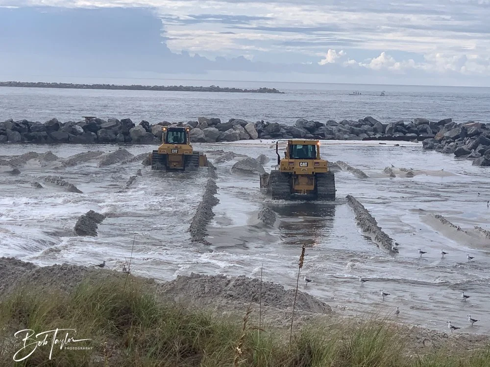
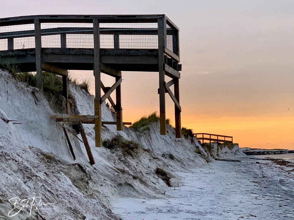
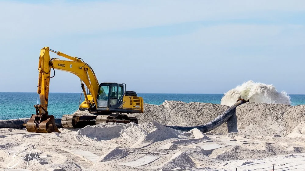
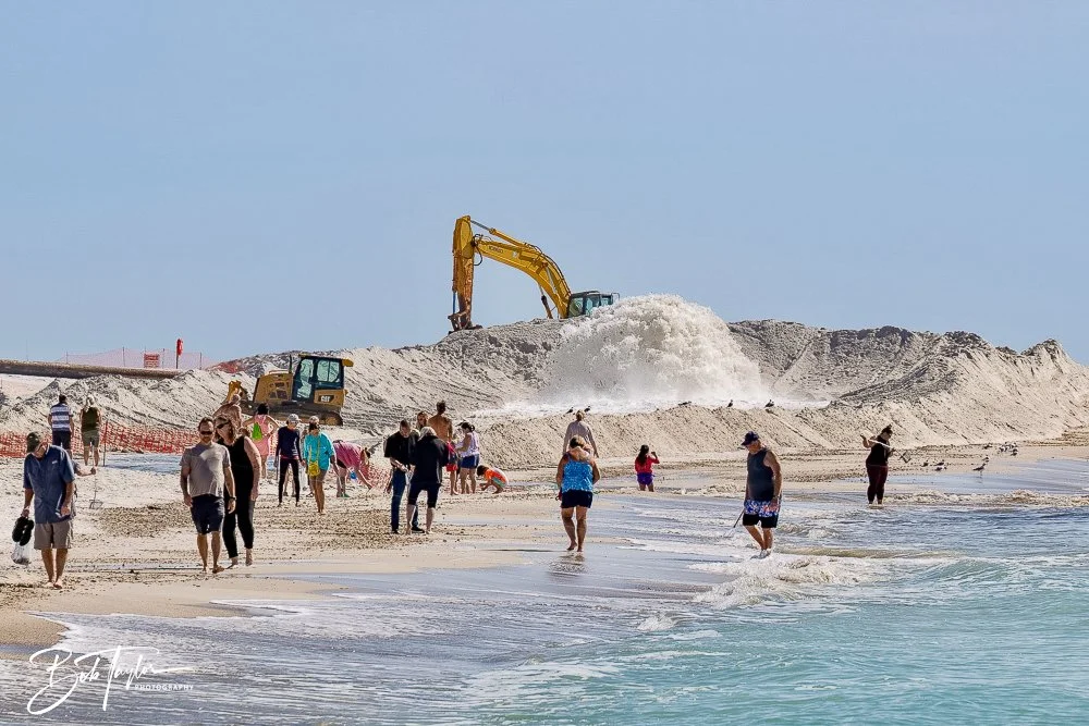
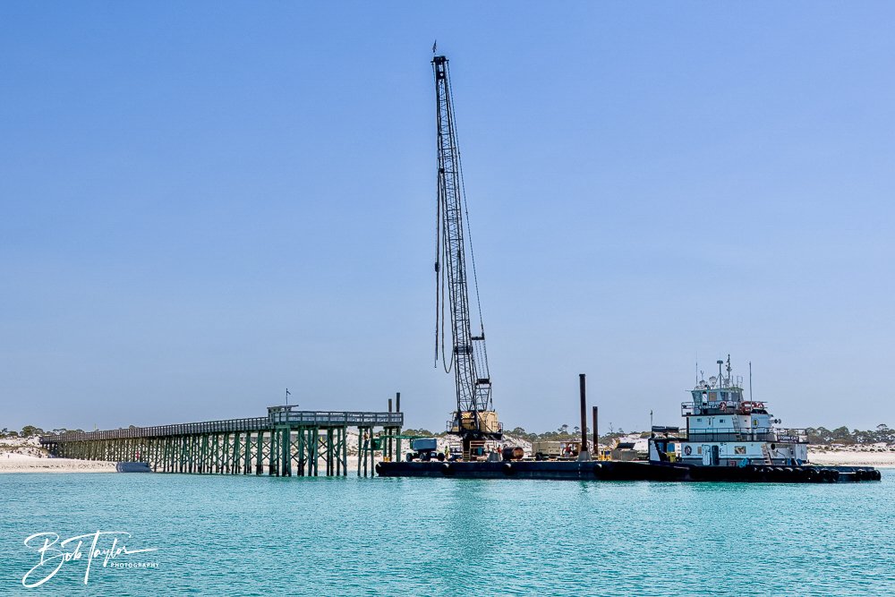
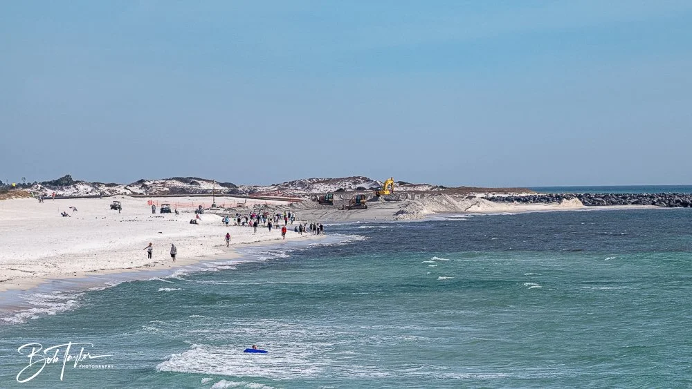
Even today, improvements are ongoing. Main roads have been resurfaced and traffic patterns redesigned to improve safety and flow. Dedicated pedestrian and bike paths now run alongside major routes. The Gulf Pier has been repaired and is fully operational once again. Gator Lake’s boardwalk is being rebuilt, with rejuvenated paths that allow safer and better wildlife viewing. Two new boardwalks have been added to expand observation opportunities across the piney woods and marshes. A new modern campground with waterfront glamping sites.. New group pavillions. New playgrounds for the kids. New sand on the beach.
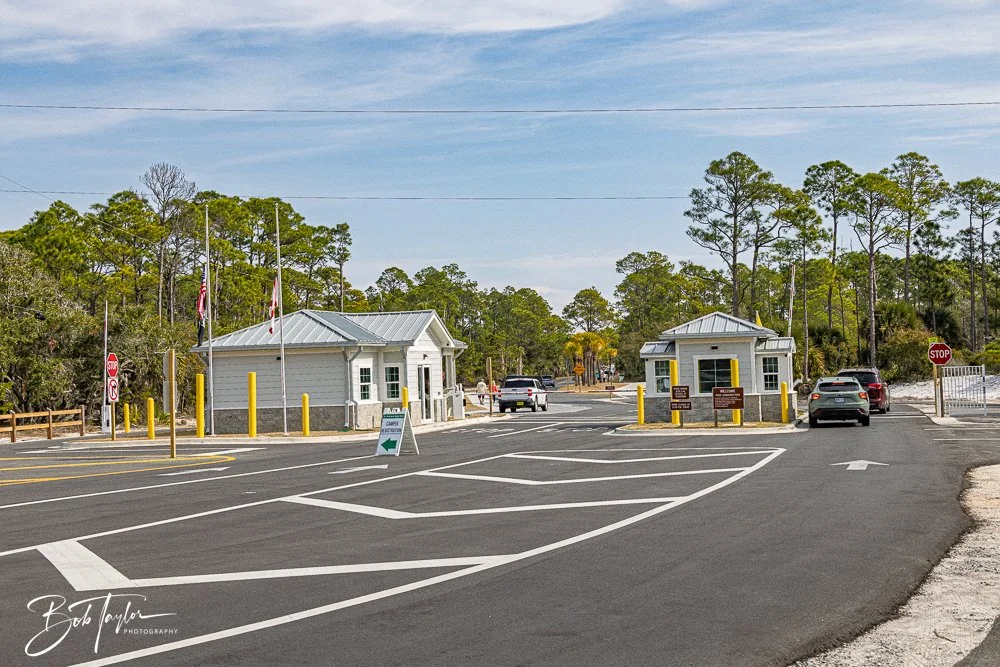
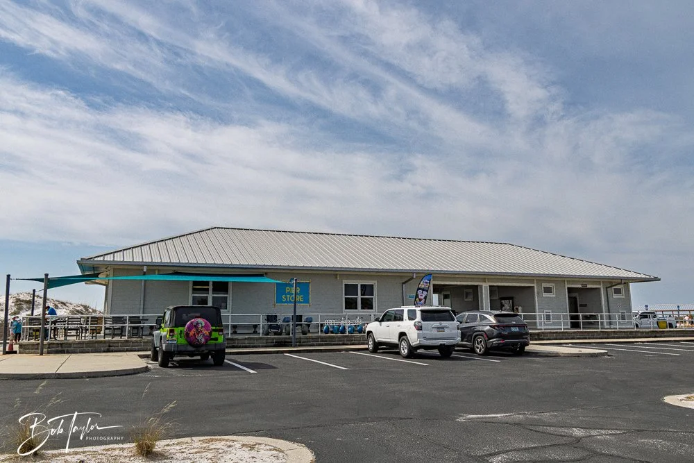
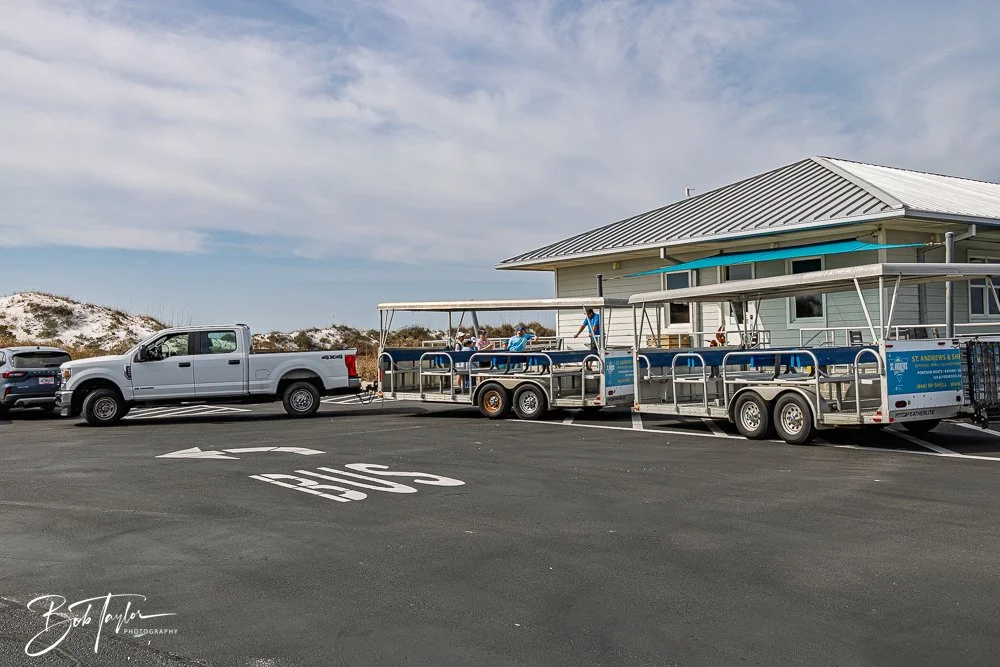
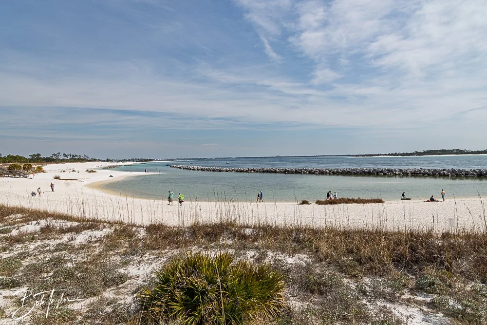
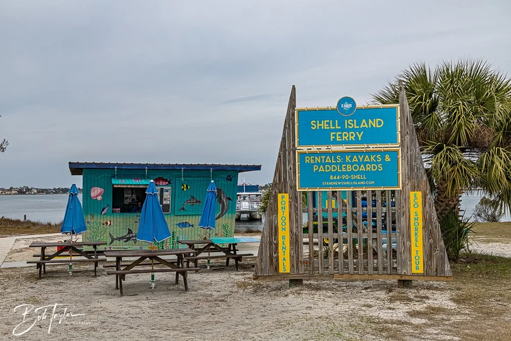
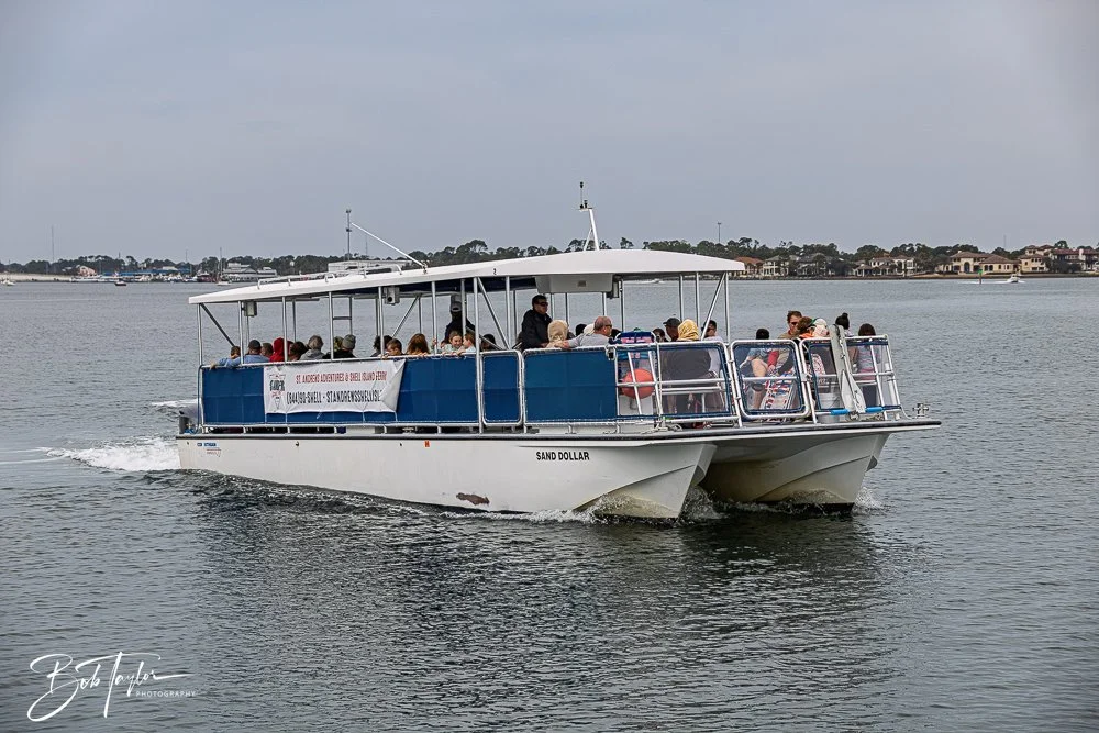
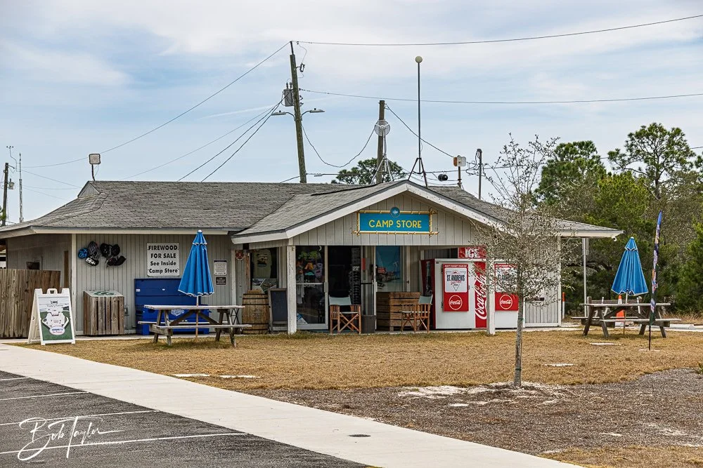
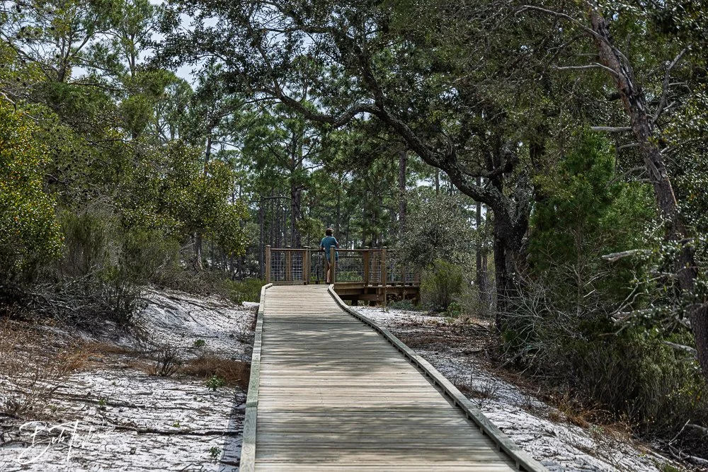
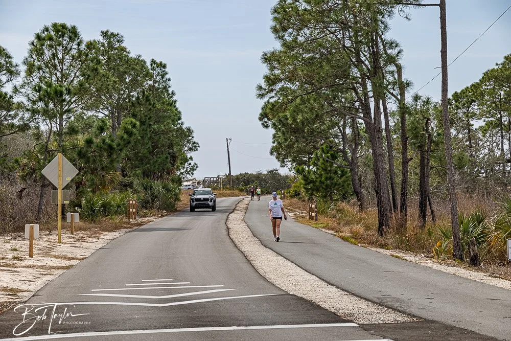
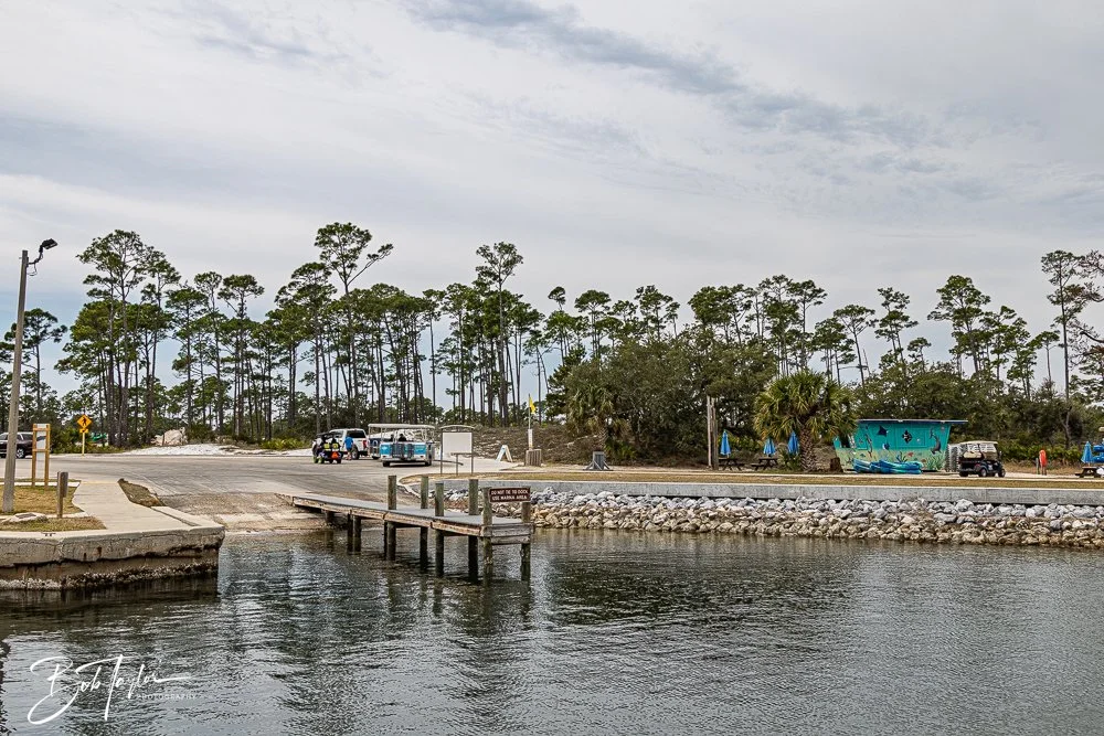
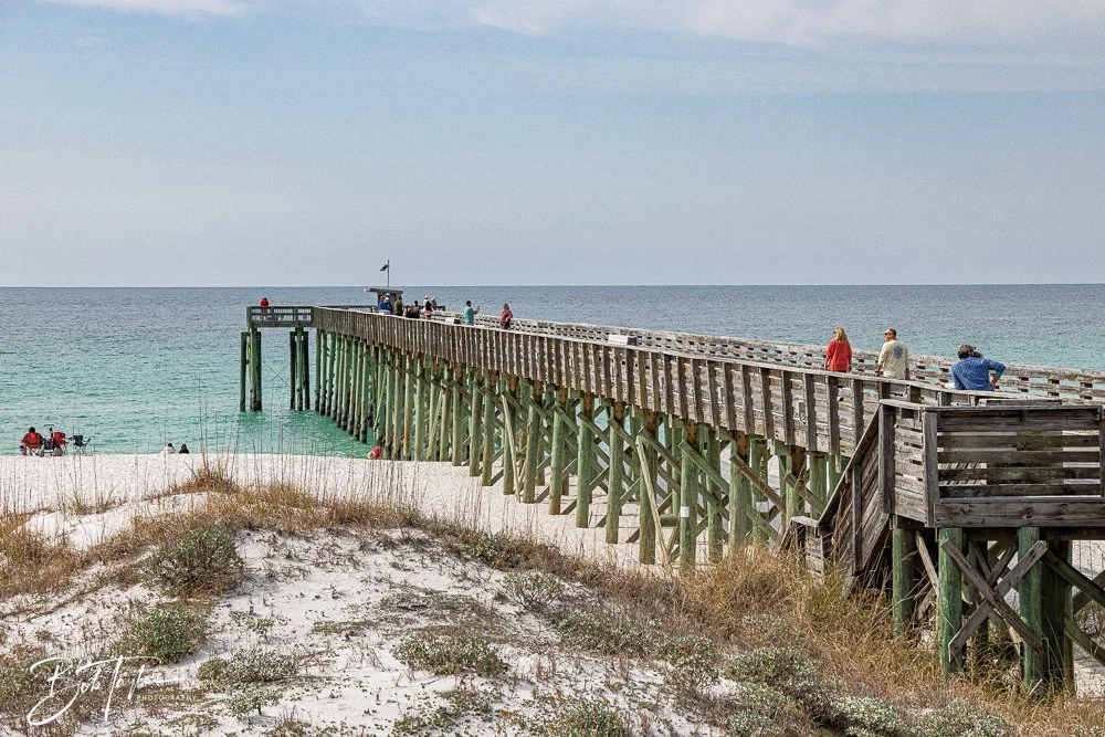
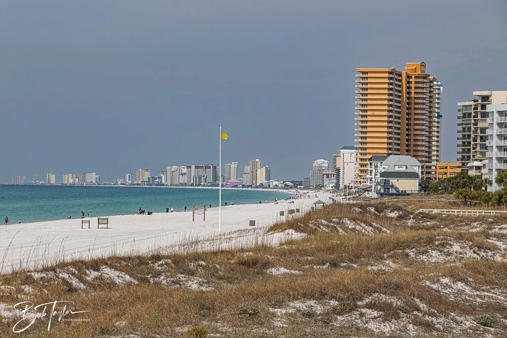
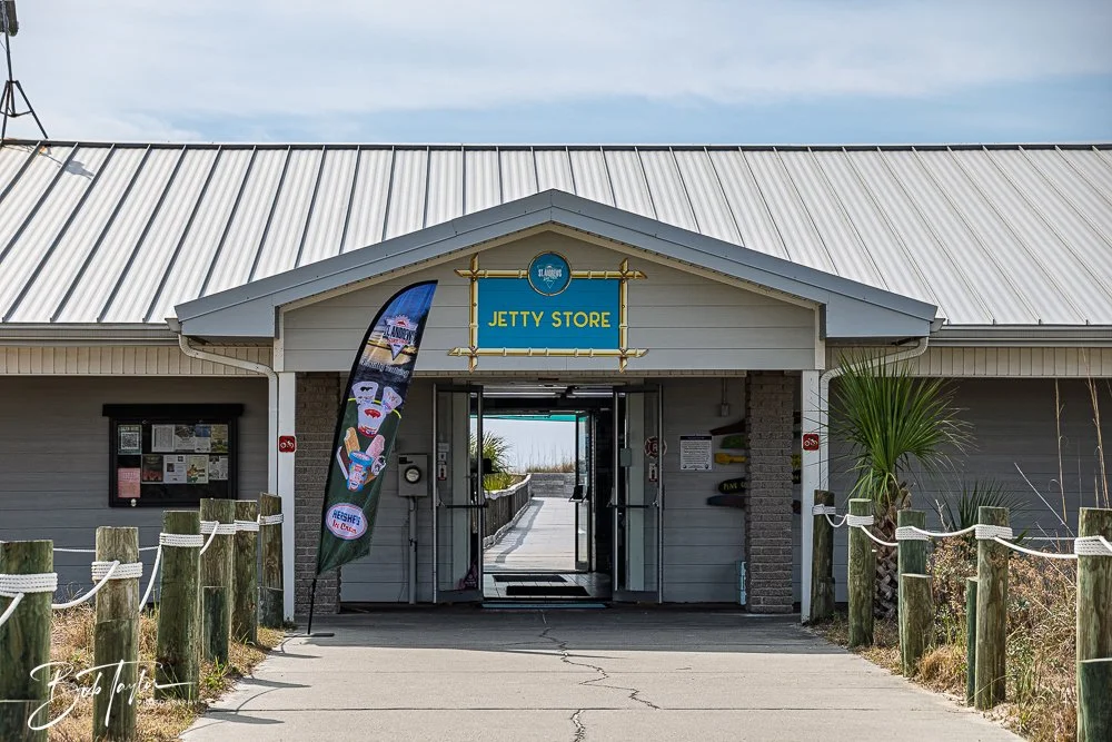
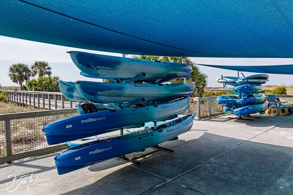
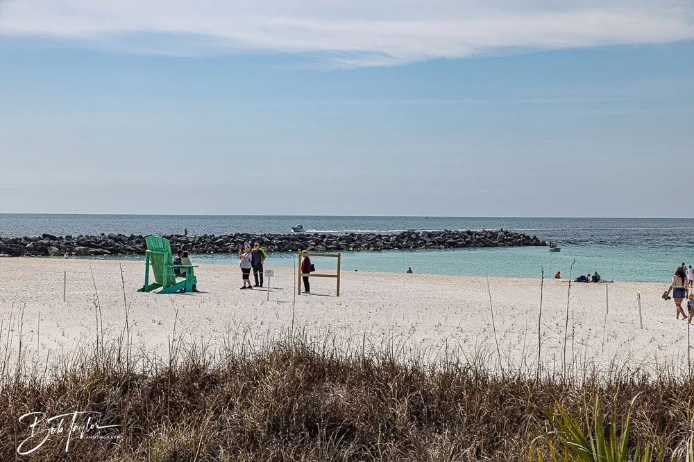
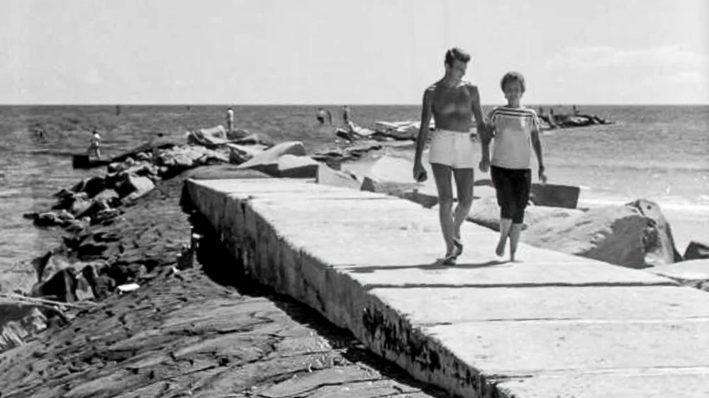
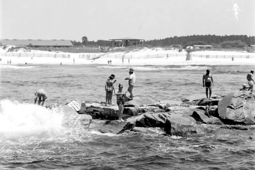
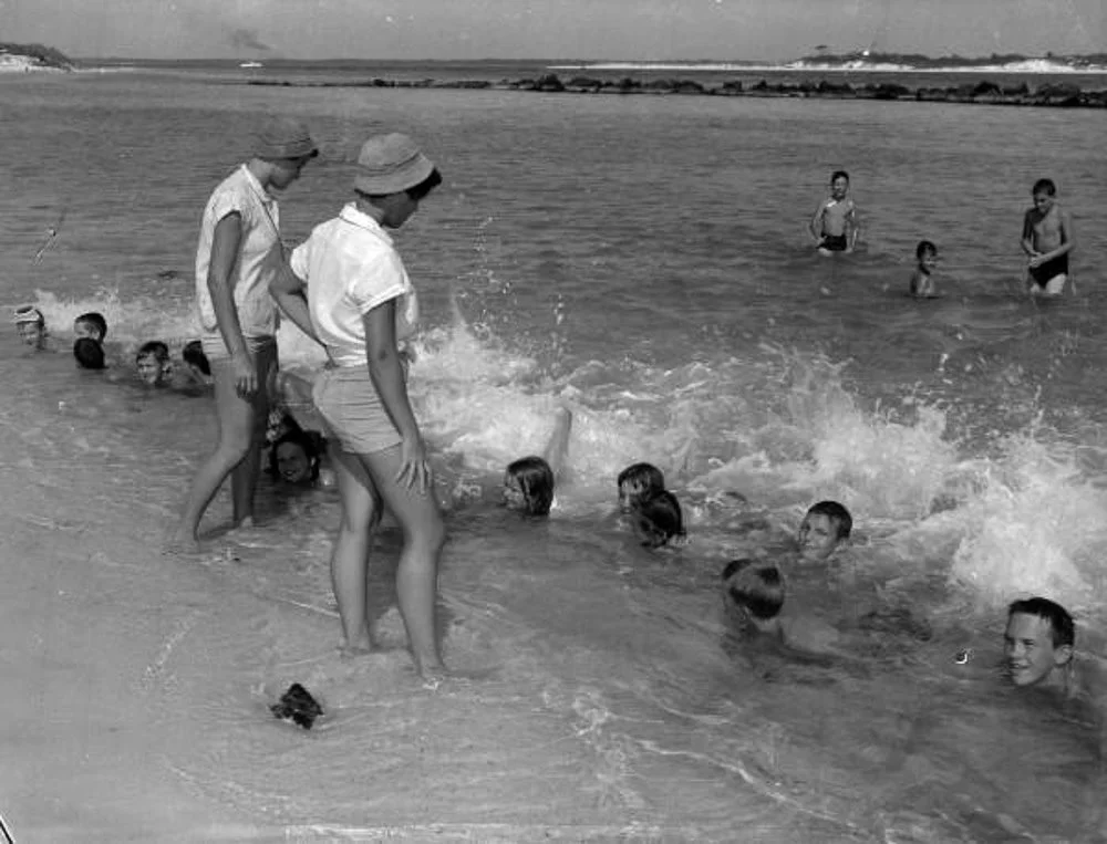
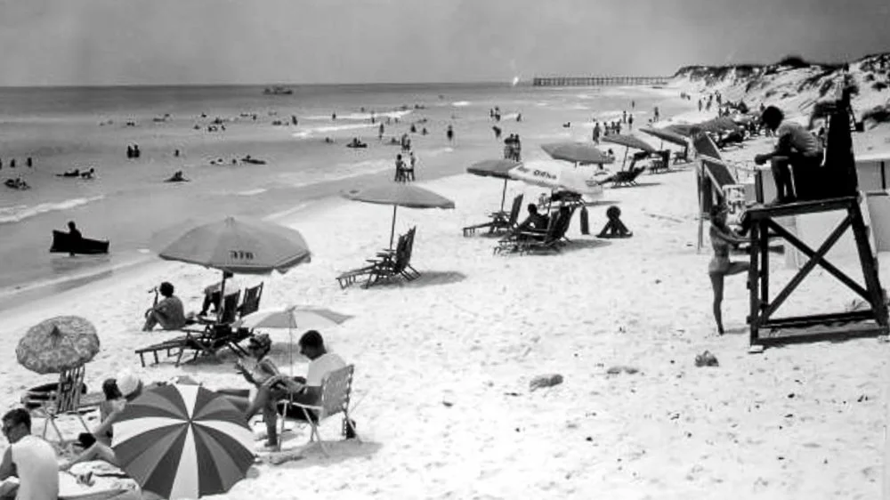
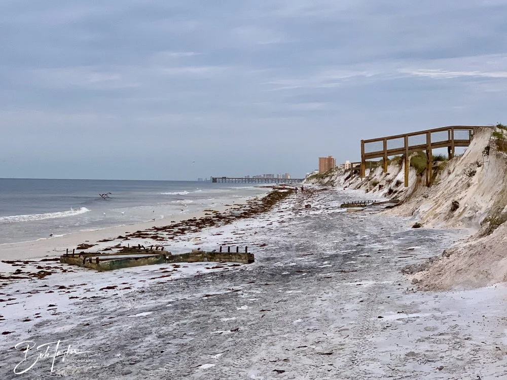
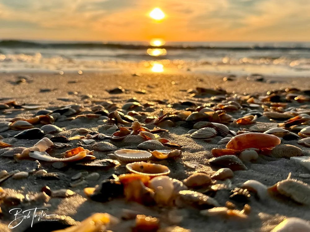
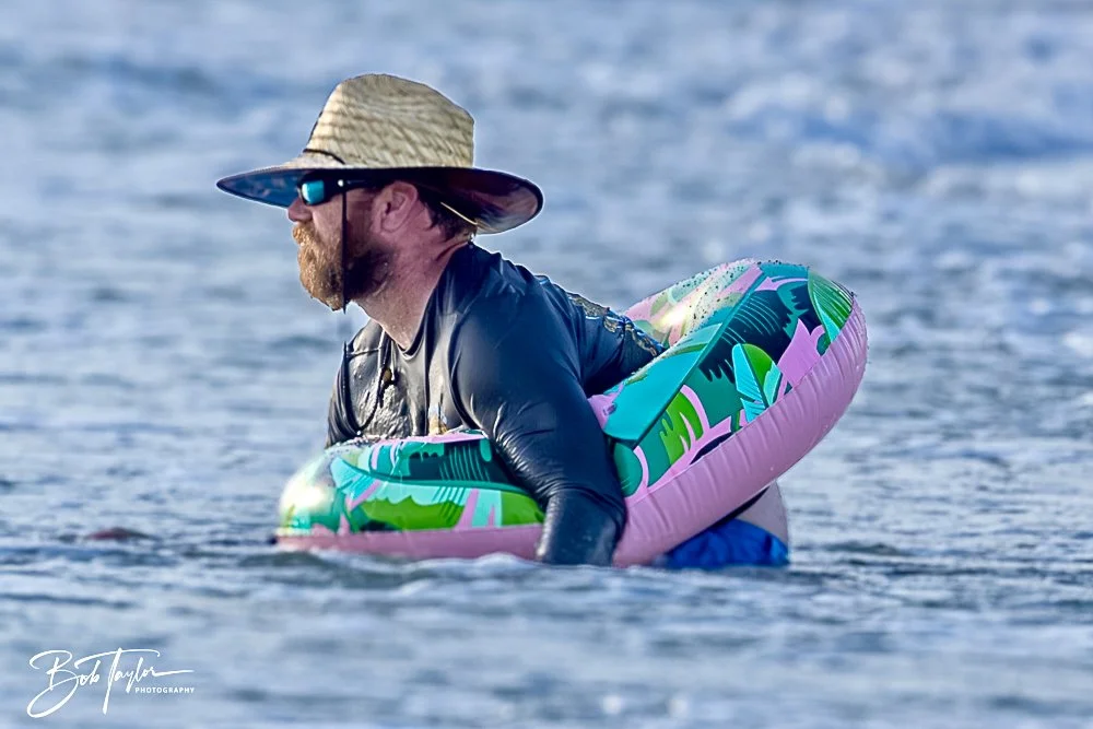
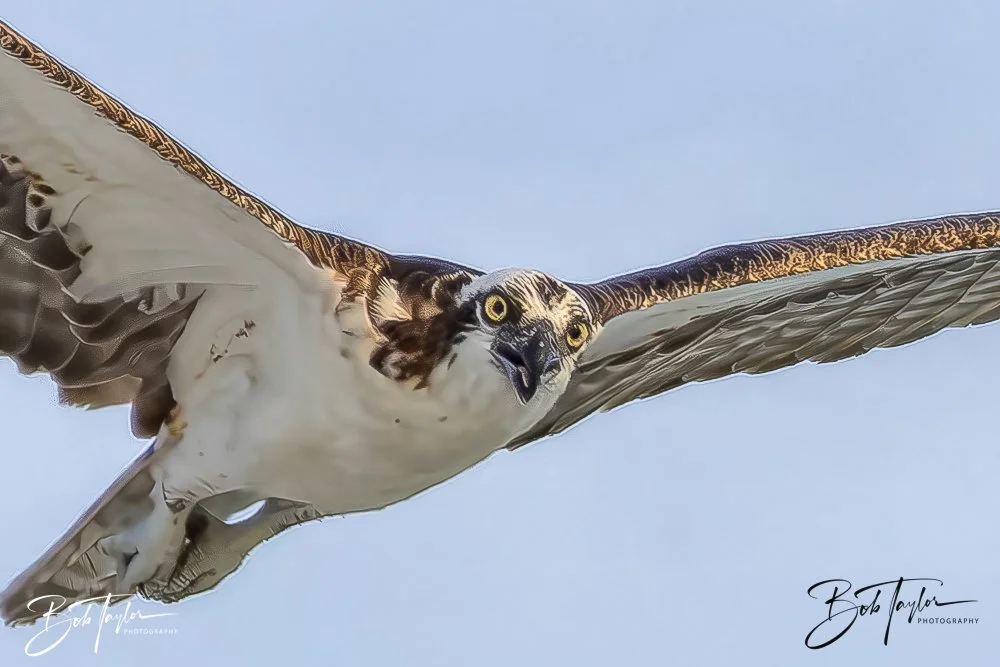
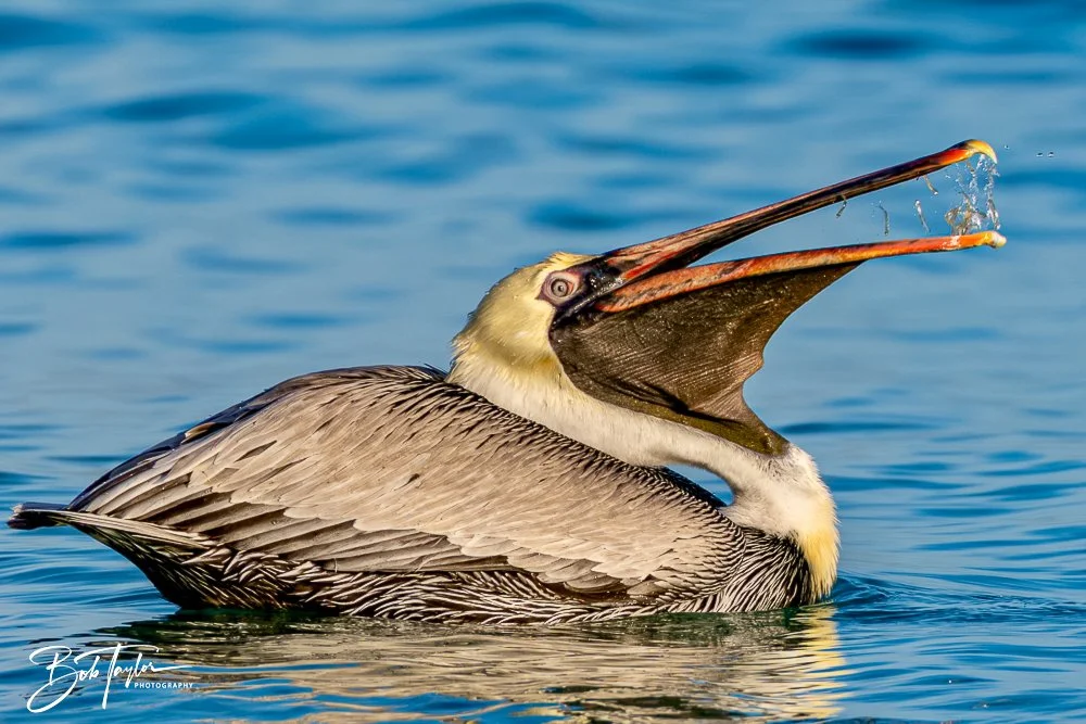
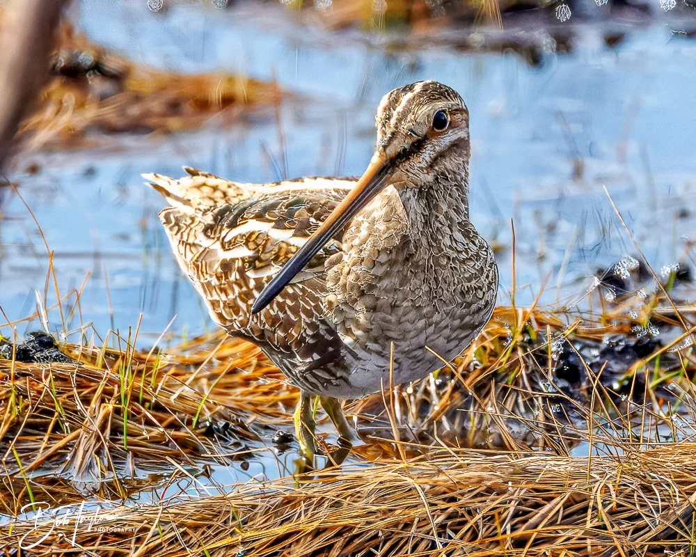
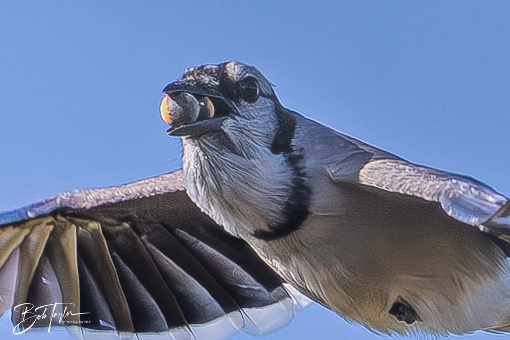
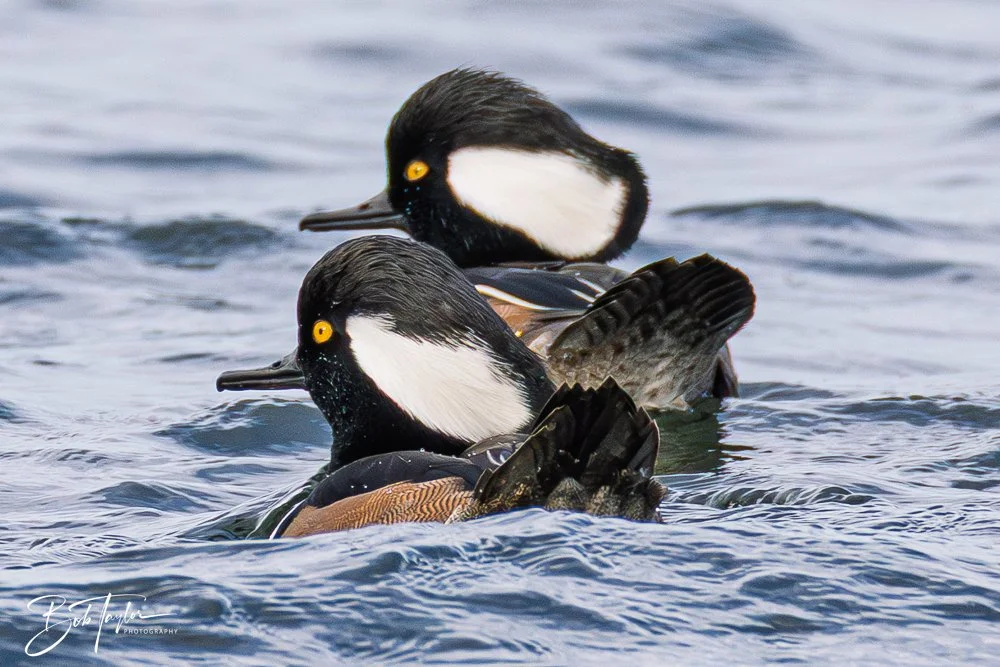
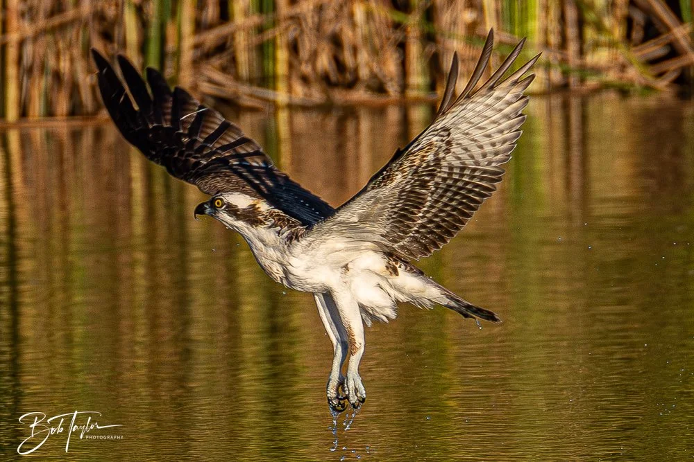
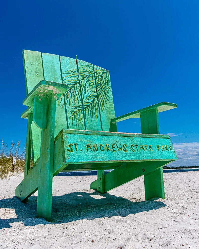
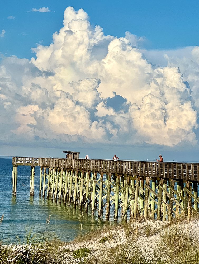
Photos of the Park Today
Taken February 14, 2026
This is what stewardship looks like.
Not frozen in time.
Not untouched.
But carefully tended.
The park we celebrate at seventy-five is not the same park that opened in 1951. And that’s exactly the point. Each generation has repaired it, protected it, improved it, and passed it forward.
That may be the most important legacy of all.
Seventy-five years after opening its gates to the public, St. Andrews State Park is still doing what it has always done: anchoring this community, balancing growth with preservation, and quietly reminding us that some places are worth keeping steady.
The dunes shift. The tides change. Storms come and go.
But this anchor at the end of the land still holds.
Growing up with the Park
For nearly sixty years, I’ve grown up alongside St. Andrews State Park.
I learned to swim in the original Kiddie Pool, scraped my feet on jetty rocks, and spent long afternoons thinking that stretch of shoreline was simply part of being alive. Back then it felt wild and wide open — a post-war escape at the edge of town — and I didn’t yet understand I was watching history in motion.
I left for a while. Life does that. Careers, responsibilities, miles between where you are and where you started.
But I came back — this time with an RV, a camera, and a little more appreciation for what doesn’t change easily.
I’ve watched the dunes shift. I’ve seen boardwalks rebuilt. I’ve seen storms rearrange the landscape and crews patiently put it back together again. And through all of it, the soul of this place hasn’t budged.
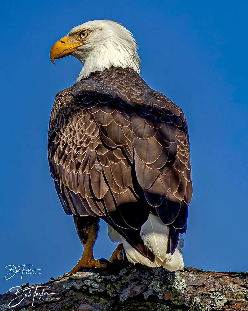
I’ve stood on the jetty photographing the silhouette of the newest Navy ship sliding through the pass. I’ve spotted a bald eagle perched on a dead tree surveying its domain. I’ve let the steady rhythm of wind and tide wash away whatever noise the rest of life was making.
The details evolve. The infrastructure improves. The shoreline moves.
But the feeling doesn’t.
St. Andrews State Park has been a constant in my changing life — a place that offers a new story every day, yet somehow always feels exactly like coming home.
The Story of St. Andrews State Park
If you stand on the granite rocks at the end of the jetties today at sunrise, watching charter boats ease into the Gulf while pelicans draft the wind, it’s easy to believe this place has always looked this way.
It hasn’t.
St. Andrews State Park did not simply become a park. It was tapped, dredged, fortified, inhabited, battered, rebuilt, and reshaped long before Florida ever opened a gate and called it public land.
This peninsula has lived many lives.
A Name Older Than the Town


The story begins long before roads and bridges.
Spanish navigators mapping the Gulf Coast recorded this harbor as Bahía de San Andrés, likely near November 30—the feast day of Saint Andrew. The name endured. By the early 1800s, settlers were spreading around the bay, fishing its waters, building boats, boiling seawater for salt, and inviting summer visitors to take “healthy sea baths.”
Pine Forests Before Beach Towels
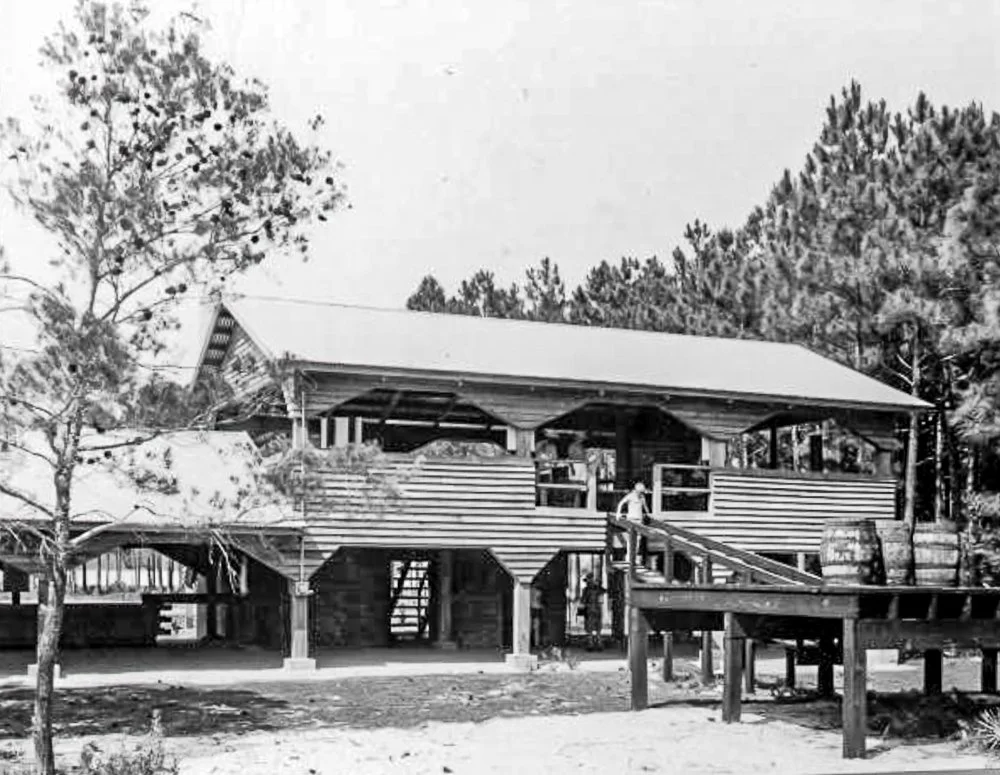
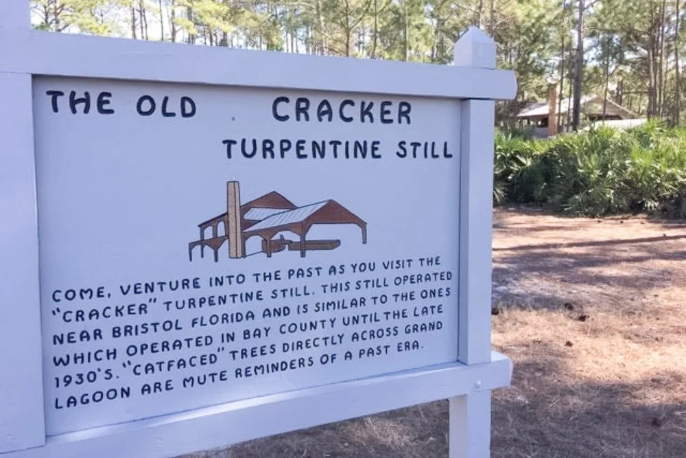
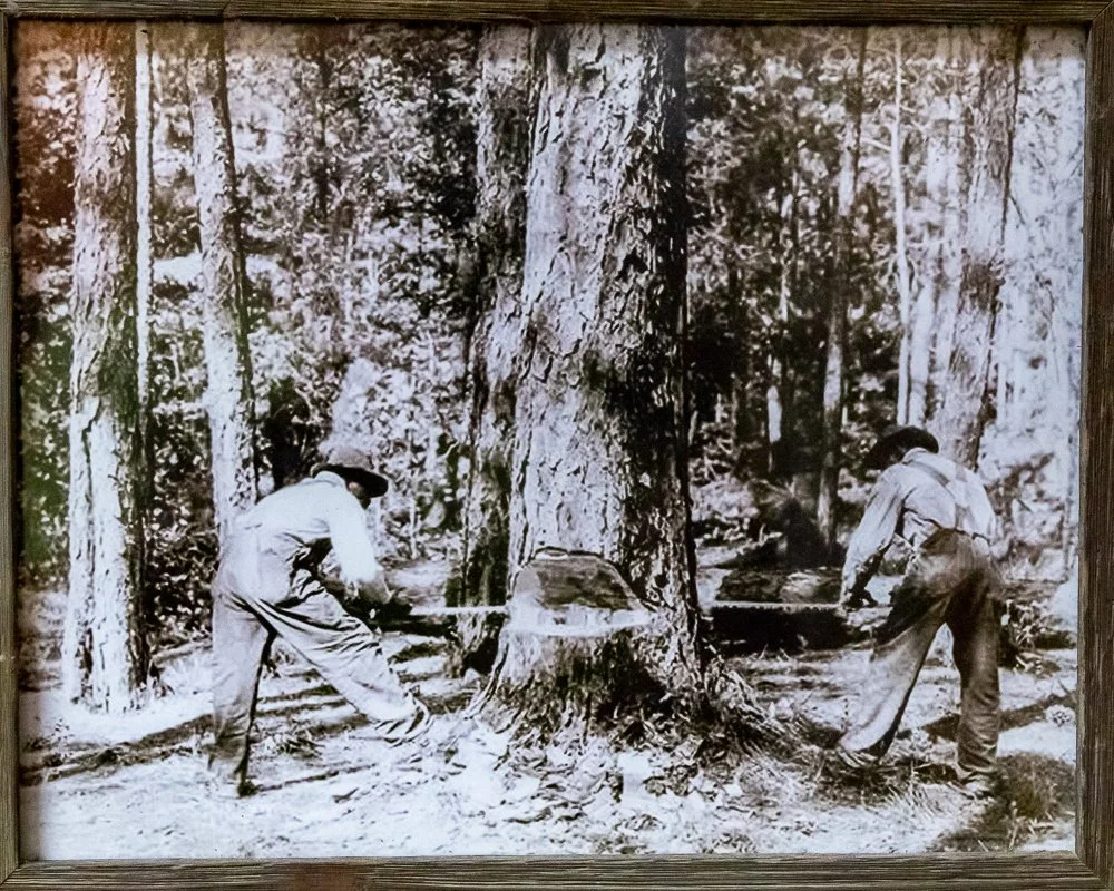
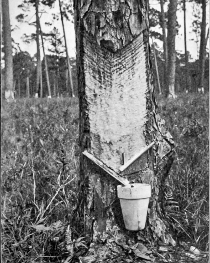
Before campers and umbrellas, the peninsula smelled of pine resin.
Longleaf forests covered the land. Workers cut deep “cat faces” into tree trunks, gathering sap that would be distilled into turpentine and naval stores—essential products for shipbuilding, paints, soaps, and industry. Turpentine camps operated across this region. It was working land long before it was protected land.
Most evidence of that era has disappeared into storms and time. But the peninsula had already earned its keep before it earned preservation.
The Cut That Changed Everything
The bay was always the draw.
The problem was the pass.
For generations, the entrance to St. Andrew Bay shifted unpredictably. Beautiful, yes. Reliable, no. The shallow, moving channel kept the community from becoming a true port.
That would change in the 1930s.
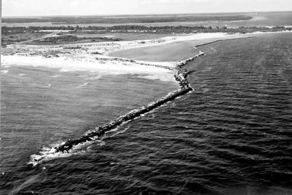
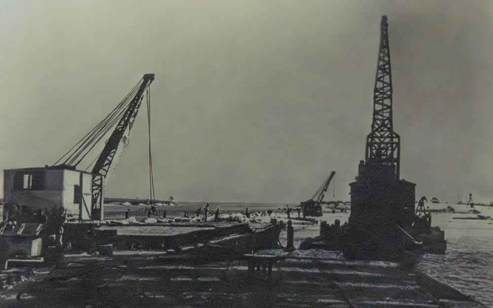
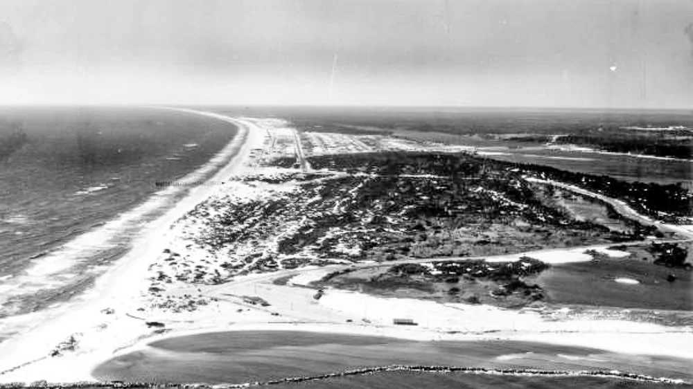
In the mid-1930’s the U.S. Army Corps of Engineers performed what can only be described as geographic surgery.
A deep, straight shipping channel was dredged through Lands End. Massive granite jetties—thousands of tons of stone—were stacked to stabilize the new pass. When the dredges were finished, the peninsula was no longer whole.
The land separated from the rest became what we now know as Shell Island.
The mainland side evolved into the shoreline of today’s park.
The stable deep-water entrance transformed St. Andrew Bay from a local harbor into a viable port. Fishing expanded. Industry grew. And soon, the bay would serve a far larger purpose.
The outline of the future park had been drawn by engineering before it was drawn by law.
Concrete in the Dunes

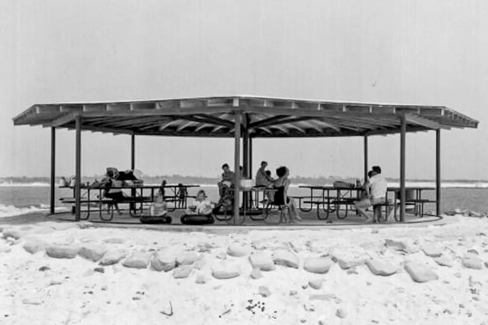
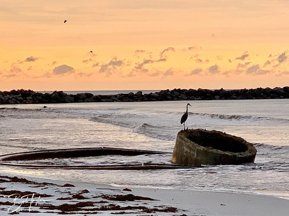
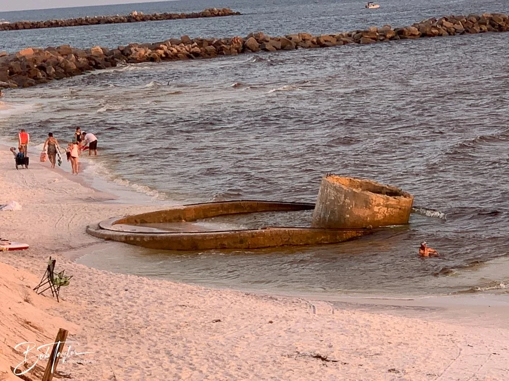
The old WWII gun turret has been used as a picnic pavilion and observation deck over the years.
When World War II came to the Gulf Coast, the new deep-water channel made the bay both valuable and vulnerable.
The U.S. Army seized the land and established the St. Andrews Sound Military Reservation. Circular concrete gun mounts were poured into the sand to support 155mm coastal artillery. Soldiers stood watch over the pass. Liberty ships were built at the port in St Andrews Bay and glided through this pass to do their duty.
No enemy vessels entered the bay. No guns were fired in combat.
But the concrete remains.
After storms, portions of those gun mounts sometimes reappear—rising from the sand like fossils—before being buried again in the next cycle of erosion and renourishment. The cycle continues, a quiet reminder that this playground was once a line of defense.
Across the water, Tyndall Field rose from pinewoods and later became Tyndall Air Force Base. Even today, the invisible line across Shell Island marks the boundary between public recreation and active military land.
History here does not vanish. It shifts.
Across the Water: The Birth of Tyndall
While the dunes at Lands End were being reshaped by dredges and granite jetties, something equally transformative was happening across the bay. In 1941, the U.S. Army carved Tyndall Field out of the remote East Peninsula to train aerial gunners for a world at war. What had been quiet coastal wilderness — including the far eastern stretch of what we now call Shell Island — became part of a vast military reservation.


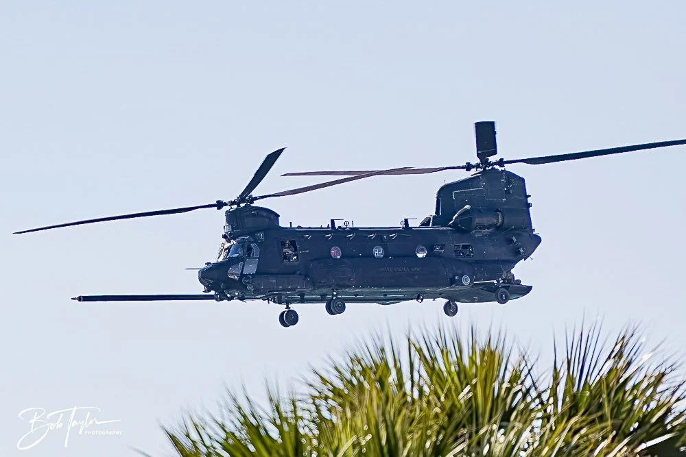


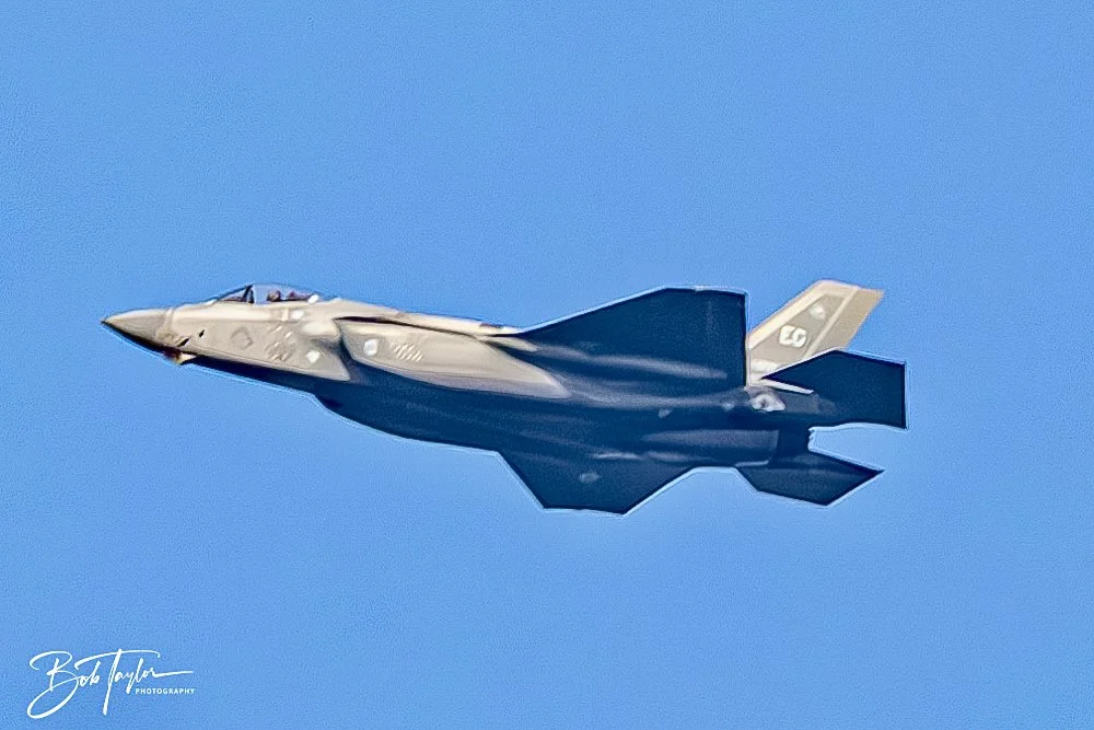


In 1948, it was redesignated as Tyndall Air Force Base, and it remains active today. From the jetty at the park, you can still look across the water and see that invisible line — where public shoreline ends and national defense quietly begins — a reminder that this coast has always balanced beauty with purpose.
And on many days, visitors feel that connection directly, as aircraft from the base fly low overhead, close enough to rattle the air and let the sound of freedom ring out across the water.
Research Vessels in the Pass
If you spend enough time on the jetty at St. Andrews State Park, you’ll eventually see them — low-profile Navy research vessels and, on occasion, the unmistakable silhouette and roaring sound of a hovercraft sliding past the granite rocks and heading toward the Gulf.
Just up the bay sits the Naval Surface Warfare Center Panama City Division, established here in the decades after World War II to focus on mine warfare and coastal defense systems. Much of their work happens beneath the surface, developing and testing the technology that finds and neutralizes naval mines.
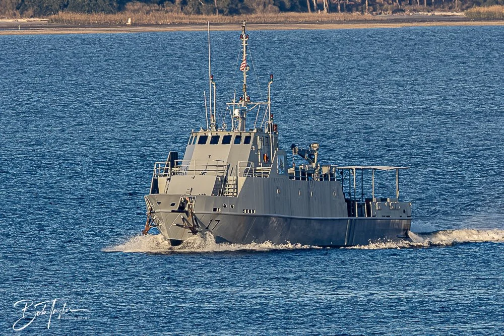
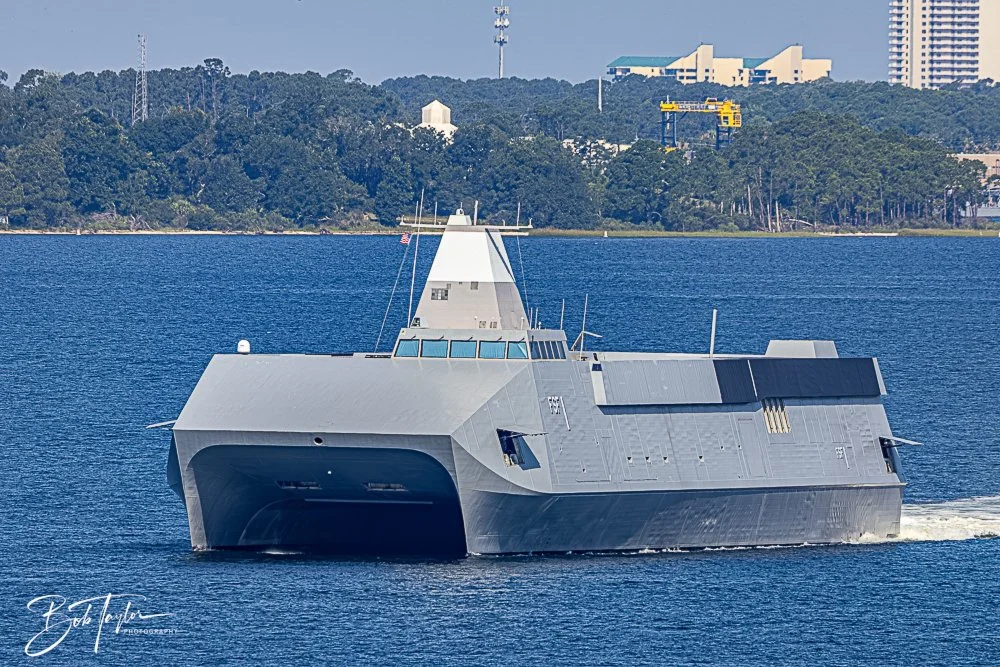
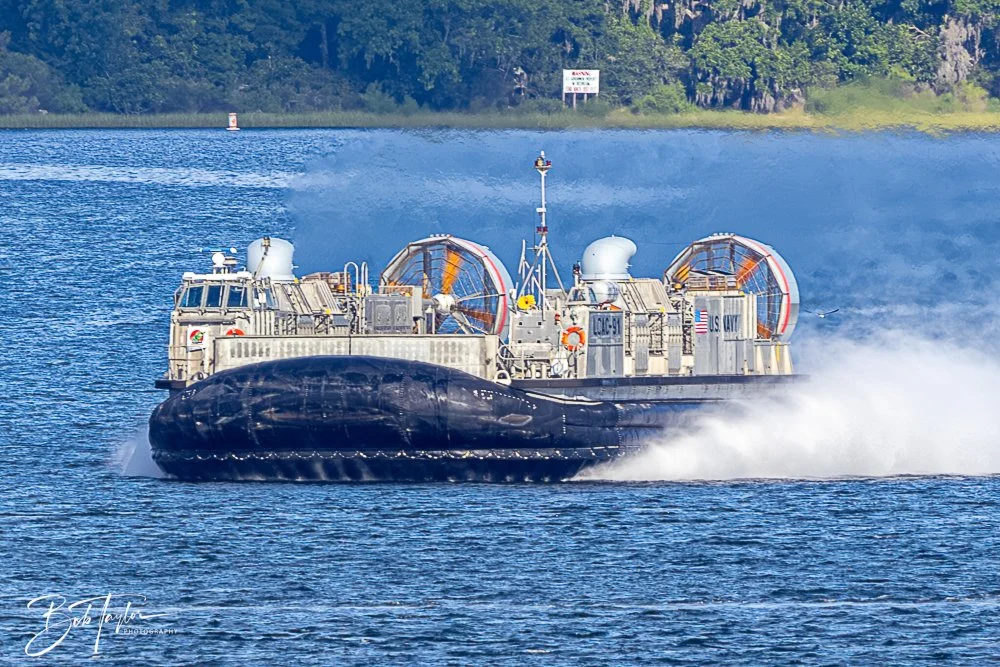
To a visitor, it may look like an unusual boat ride out to sea. But as those vessels move through the same pass carved in the 1930s, it’s another reminder that this park has always stood at the intersection of recreation and readiness — where families fish the jetties while national defense quietly moves through the channel beside them.
The Hermit Between Eras
Not all guardians wore uniforms.
In 1929, a hurricane wrecked the boat of Norwegian sailor Theodore “Teddy” Tollofsen near Grand Lagoon. Instead of leaving, he stayed. For decades, he lived in a driftwood cabin near the jetties, fishing and keeping mostly to himself.

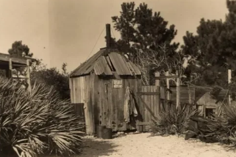
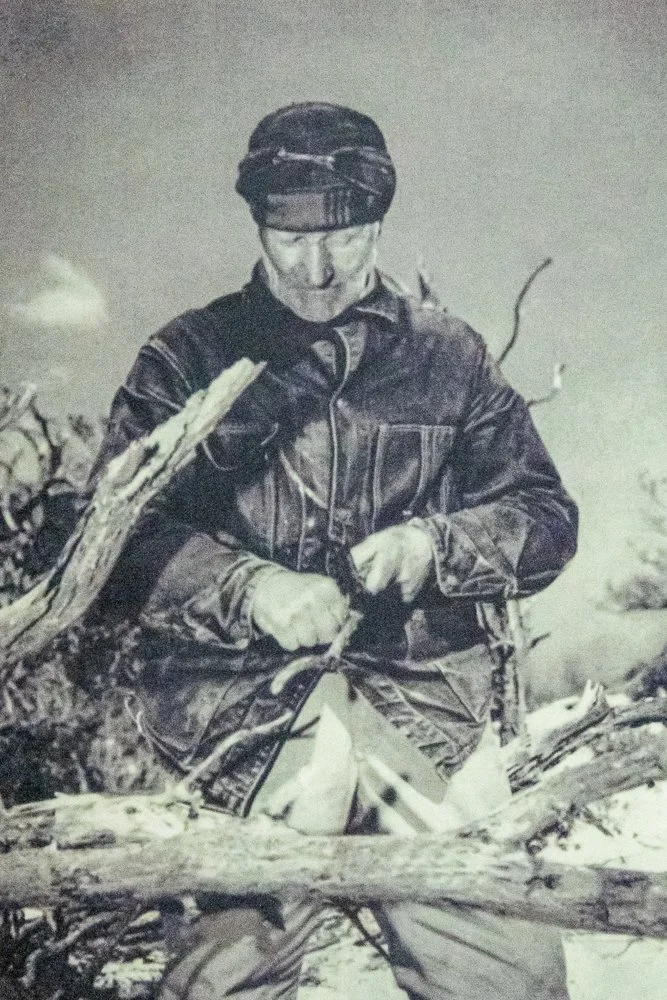
When the state eventually established the park, Teddy was allowed to remain until his death in 1954.
Before there were entrance stations or ranger badges, there was Teddy.
He bridged the gap between raw peninsula and public park.
The $2.50 Bargain — and the Final Gift
After World War II, the federal government no longer needed the dunes.
In 1947, Florida purchased the original acreage for the almost unbelievable price of $2.50 per acre. It would take a few more years — and bridge repairs to allow proper access — before the gates officially opened in 1951. That was the moment the land shifted from military ground to public treasure.
Seventy-five years ago, families began arriving not as soldiers or workers — but as visitors.
And the story did not end there.
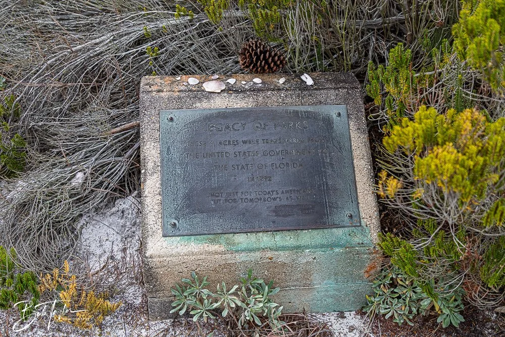
In the early 1970s, under President Richard Nixon’s Legacy of Parks program, the federal government transferred the final 41 acres of former military land to the State of Florida, completing the park’s footprint. What had once been strategic coastal property became permanently protected public shoreline.
From a $2.50 purchase to a final federal gift, the land steadily moved into the hands of the people.
And they have never stopped coming.
The Quiet Counterweight
By the 1960s and 70s, Panama City Beach was booming—bridges, highways, neon signs, motels, seafood houses.
St. Andrews State Park became the counterbalance.
A place where a family could spend an entire day for next to nothing.
A place where dunes and pinewoods were left standing.
A place that preserved the “Old Florida” soul of the coast.
Generations fished from the jetties, swam in the calm waters shaped by the granite rocks, camped beneath pines, and picnicked beside the bay.
The uses changed. The land endured.
The Great Editor: Storms
If there is one constant in the park’s history, it is erosion.
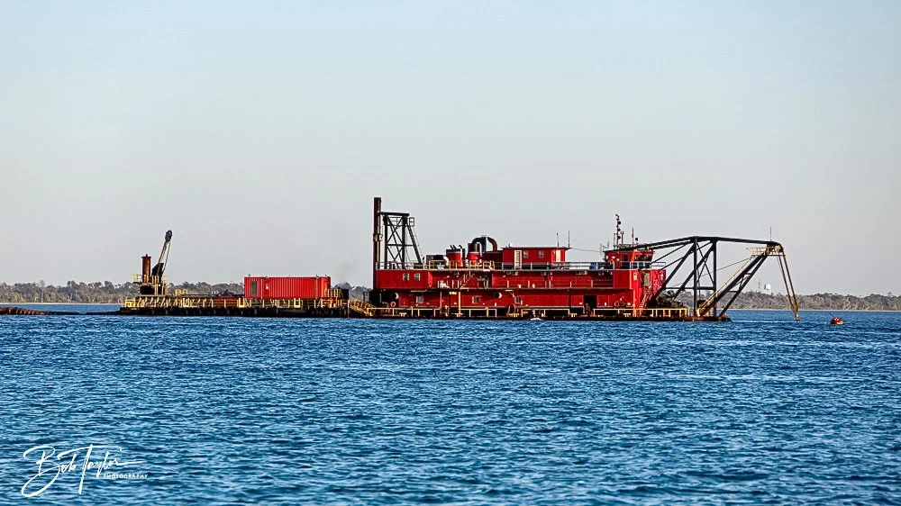
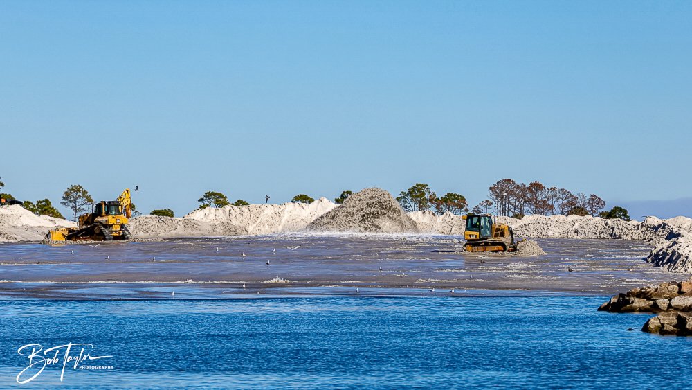
Sand shifts. Shorelines retreat. Renourishment pumps sand back onto the beach—sometimes revealing unexpected echoes of the past. Even WWII artifacts have surfaced during dredging operations.
Then came Hurricane Michael in 2018.
The Category 5 storm severed sections of the peninsula, flattened maritime forest canopy, destroyed the turpentine exhibits and reshaped beloved shorelines. For a time, it felt as though the park might never look familiar again.
But resilience defines this coast.
Reconstruction followed. Beaches were restored. Jetties were refortified. Infrastructure and amenities were rebuilt. The park was brought back to life better than ever.
Even now, the work continues.
The park has never been frozen in time. It has always been tended.
The Anchor at the End of the Land
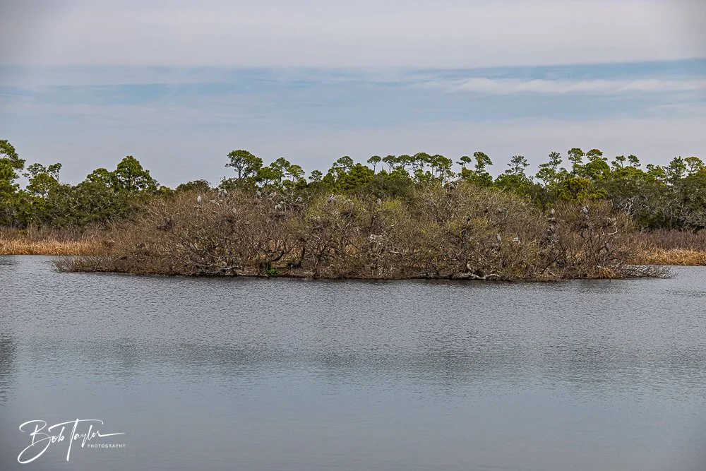
Today, visitors can still move through dunes, scrub, pine flatwoods, marsh, seagrass beds, and open bay in a single afternoon.
Before we walk the pier or set up a beach chair, we should remember this peninsula has already been:
A pine forest.
A turpentine camp.
A dredging site.
A military outpost.
A hermit’s refuge.
A family campground.
A storm battleground.
All of those threads—industry, war, engineering, tourism, resilience—wove together to create what we now simply call the park.
Seventy-five years after opening its gates, St. Andrews State Park remains the physical and spiritual anchor of this community.
The dunes shift. The tides change. Storms come and go.
But this anchor at the end of the land still holds.
And if you stand quietly at the edge of the pass, watching the water move between bay and Gulf, it still says what it has always said:
You’re home.


Click the link below to view a collection of recent and vintage photos of St Andrews State Park.